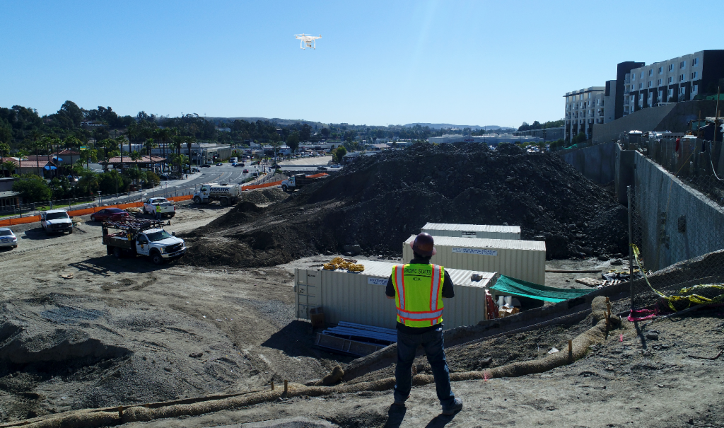
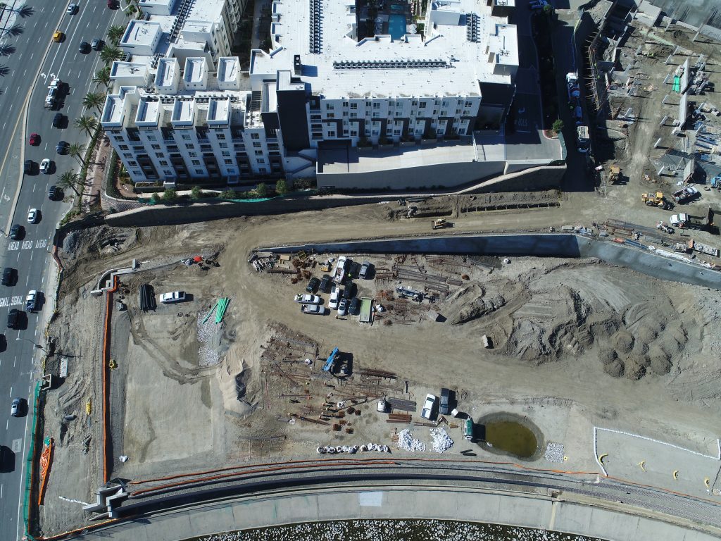
Aerial imagery provides accurate volume measurements during grading operations for stockpile surveys, and even to estimate the amount of construction material delivered and available on‐site.
Automatically measure any type of stockpile:
- Aggregate materials like sand, stone, gravel, and rock;
- Biomass products like pulp, paper, timber, logs, wood chips, mulch, and manure;
- Minerals like gypsum, kaolin, lime, clay, and ceramic;
- Road-building materials such as asphalt, petroleum, coke, cement, and concrete.
The size of landfills or pits can be accurately measured based on cut and fill volumes.

