Delivering the Perspective Above
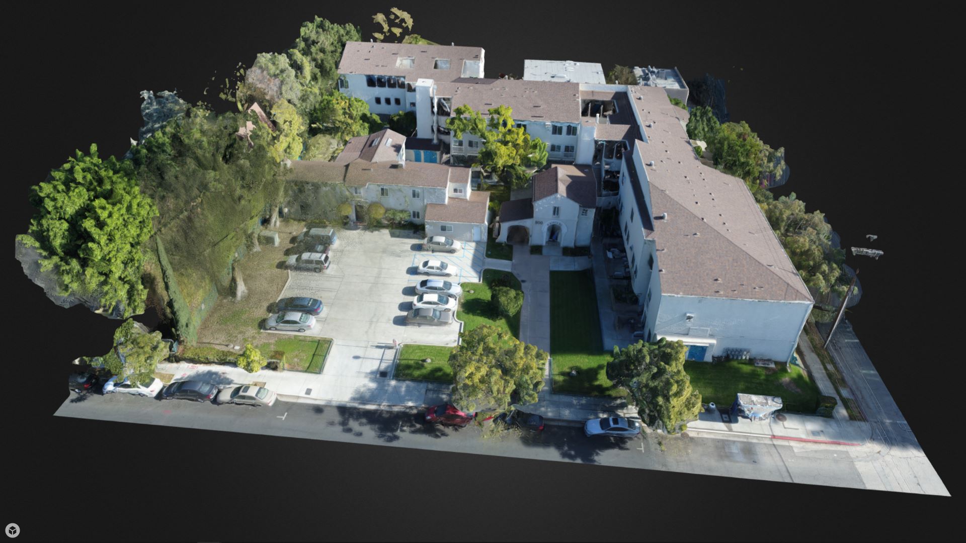
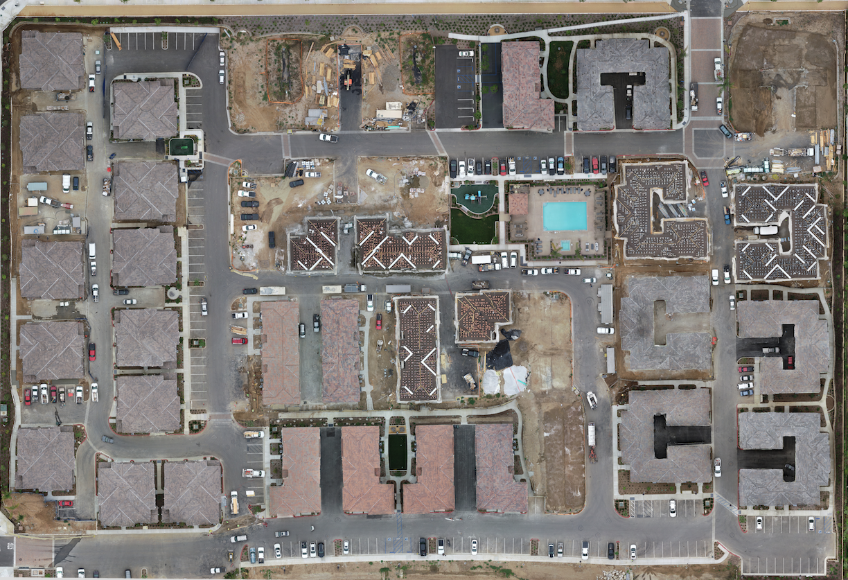
Pacific States Aerial is a full-service commercial Unmanned Aerial System (UAS) operator authorized by the FAA for aerial services throughout the United States. Pacific States Aerial provides a complete package of data collection services to multiple industries using photographs, video, 3D mapping used to establish elevations, linear and volume measurements, and much more.
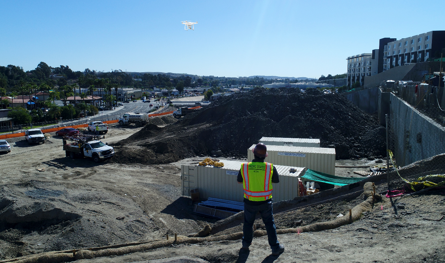
![drone pilot flying drone over a stock pile at a construction site](https://pacificstatesaerial.com/wp-content/uploads/2019/07/Aerial-Marketing-2_.png)
Instant Measurements
Immediate access to distance, area and volume measurements on any device.
FAA Certified
Operating safely and in compliance with FAA Part 107 Rules.
Bird's-eye View
Providing the ability to capture a detailed view of inaccessible areas.
Remote Site Visits
Virtually tour the project or site to review status remotely without stepping foot on-site.