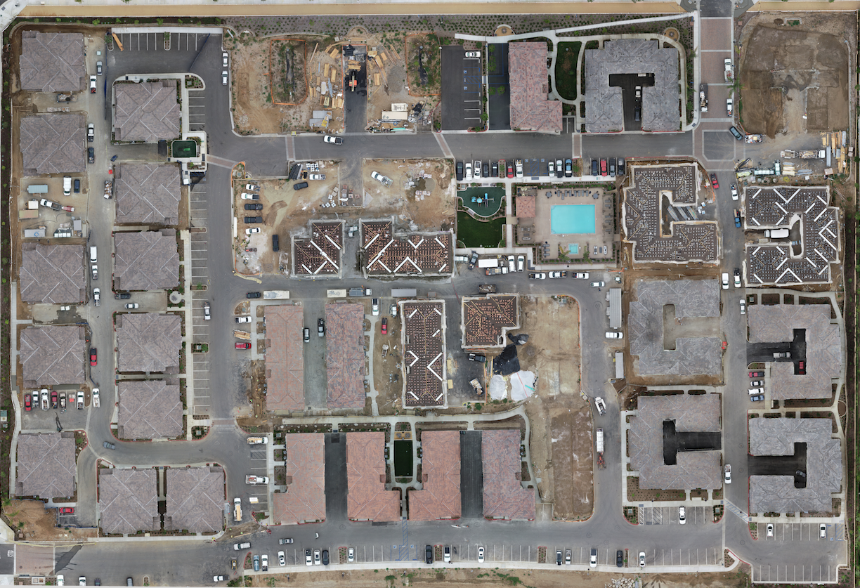
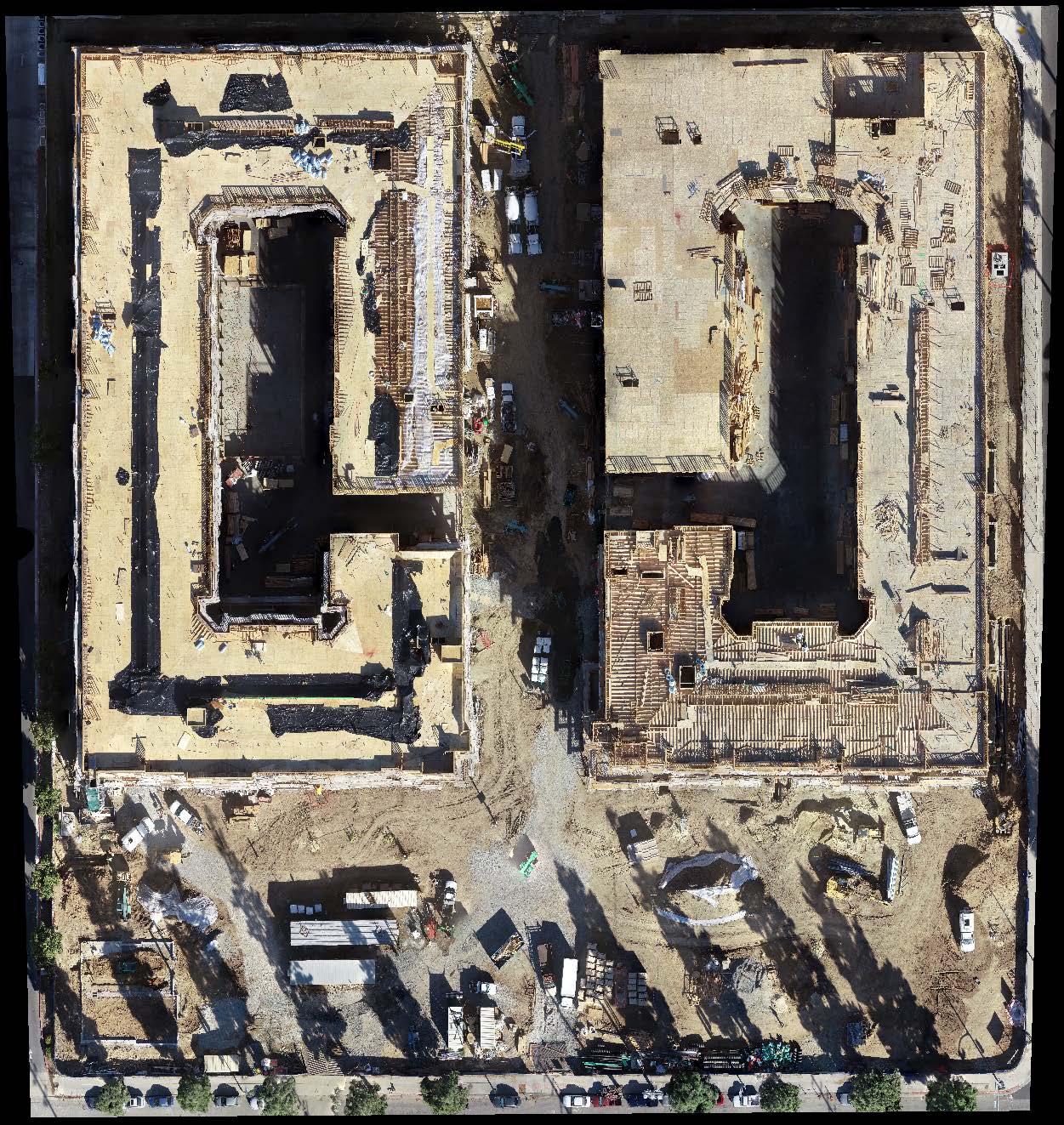
Orthomosaic maps are a grouping of overlapping images of a defined area which are processed to create a new, larger “orthomosaic”—a highly detailed, up-to-date map that is in true scale. The meta-information within an orthomosaic map allows for point clouds, volumetrics, NDVI, 3D tours, and more. This opens up endless possibilities for your business by allowing clients to virtually tour your construction site via 2D or 3D maps for visual progress reporting, deliver up-to-date maps of your real estate to potential buyers, calculate raw materials on a construction site, or easily conduct inspections over difficult terrain. Our team can deliver highly detailed, up-to-date maps of your property saving you time, money and manpower.
Orthomosaics
Uniform-scale aerial imaging