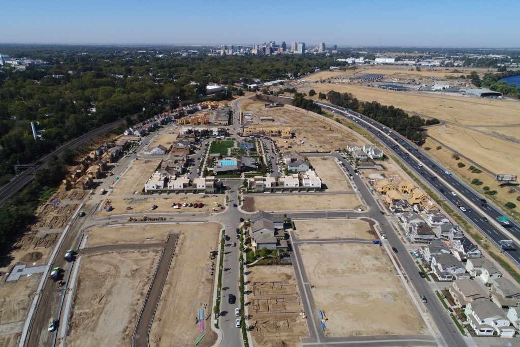
Many projects are monitored and managed from a distance. Project managers, investors, and executives normally visit the jobsite periodically. Aerial modeling and mapping offer time-lapsed imaging of your jobsite on a scheduled basis. Whether being used for draw requests, progress reporting, or as-built documentation, aerial mapping is the solution. Each visit to a site exported as a 3D model gives distant stakeholders a real view of the progress onsite. Export any of these models to a Point‐Cloud file and you can measure to ½ cm accuracy. Imagine a map of the post-tension cables in the base of a large building that can be measured to ½ cm anytime in the future.
Most pre-sale inspections only include an analysis and documentation of the interior of a building and only a cursory analysis of the exterior and even less of the roof. Aerial photography and the modeling and mapping capabilities give a crystal-clear view of the roof, even the unreachable portions. Another consideration for pre‐sale is the condition of the surrounding landscaping and drainage. Whether for new construction or existing property, documentation of the existing conditions is important from a risk management perspective. Documenting the conditions of the property and buildings prior to the transfer of responsibilities to the HOA, is an important step to managing expectations and reducing litigation in the future. Aerial photography captures the condition of the landscape, sidewalks, driveways, streets, roofs, exterior walls, and much more. These images are helpful in the future to counter claims made about the conditions at the time of turnover.
