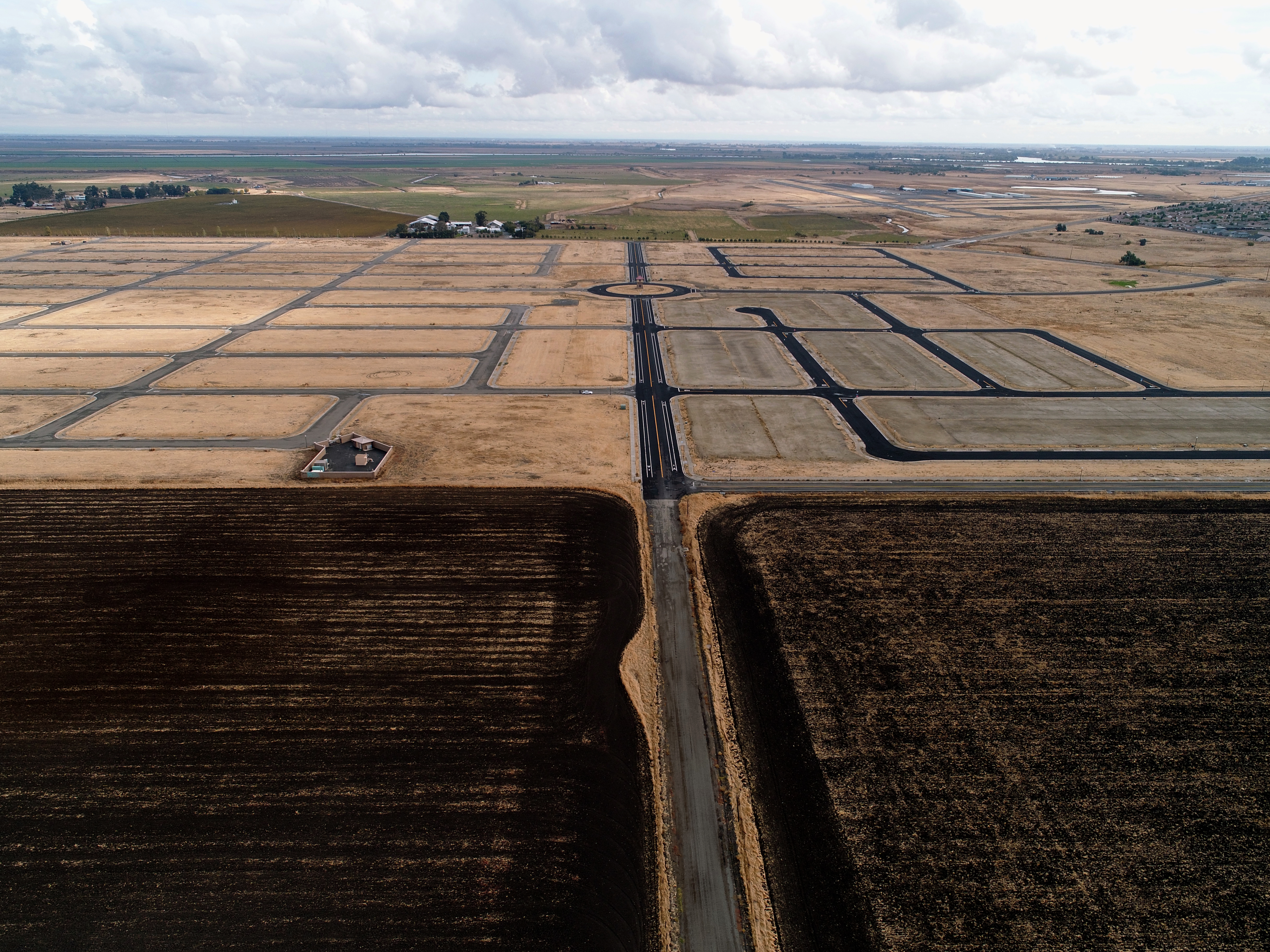
Agricultural drones allow relief for the modern-day farmer. Drone technology can cut down labor requirements and reduce resource requirements (such as fresh water and pesticides). Farmers are also able to use drones to retrieve aerial view images of their fields; there are currently three different view types provided to the farmer through a drone. The first is seeing the crop from a bird’s-eye view; this view can reveal many issues such as irrigation problems, soil variation, and of course, pest and fungal infestations.
The second view that can be received from the drones is something known as multispectral images; these images are used to show an infrared view as well as a visual spectrum view. When these views are combined, the farmer can see the differences between healthy and unhealthy plants. From a choice of weekly, daily, or to each hour, the farmer can use this information to show the changes in the crops over time, thus showing where there might be some “trouble spots”. Therefore, the farmer can then attempt to improve crop management.
This service is also beneficial for land development, landscaping, and community planning. By using the drone technology to assist large plots of land, clients can observe the changing health and quality of costly landscape, the effects of weather and pollution, problem areas, soil interpretation, and evaluation of community parks and public works development.