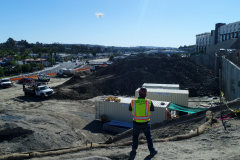
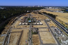
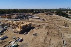
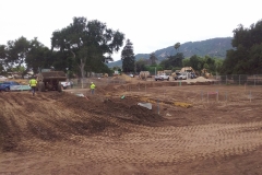
Aerial imagery provides accurate volume measurements during grading operations for stockpile surveys, and even to estimate the amount of construction material delivered and available on‐site. Automatically measure any type of stockpile or landfill.
A Subsidiary of Atlantic & Pacific Build Group


