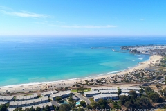
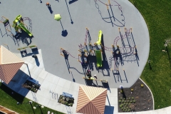
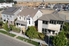
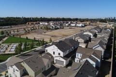
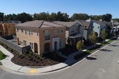
Using our state-of-the-art UAV equipment, software, and advanced experience in construction, Pacific States Aerial delivers professional quality aerial snapshots. Aerial photography provides critical information for precision planning and mapping for real estate development, environmental and surrounding area review and analysis for land planning architecture design, or for a unique viewpoint of your project. 4K video provides stunning resolution to show off your home, building, project, or event to be used on a website, marketing material, or portfolio presentation.
A Subsidiary of Atlantic & Pacific Build Group
