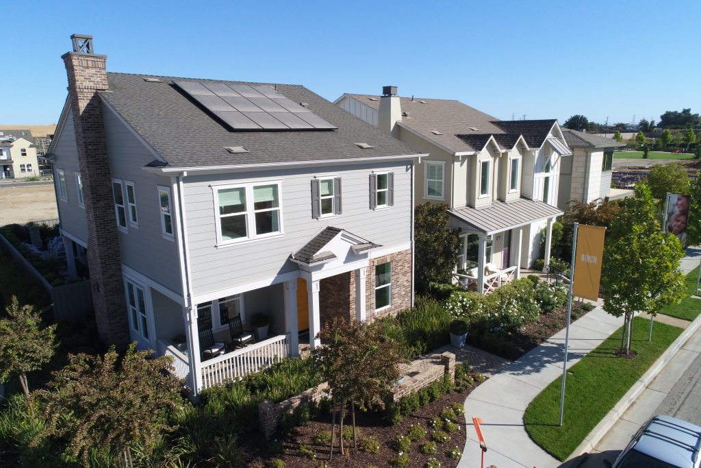
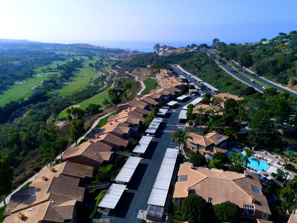
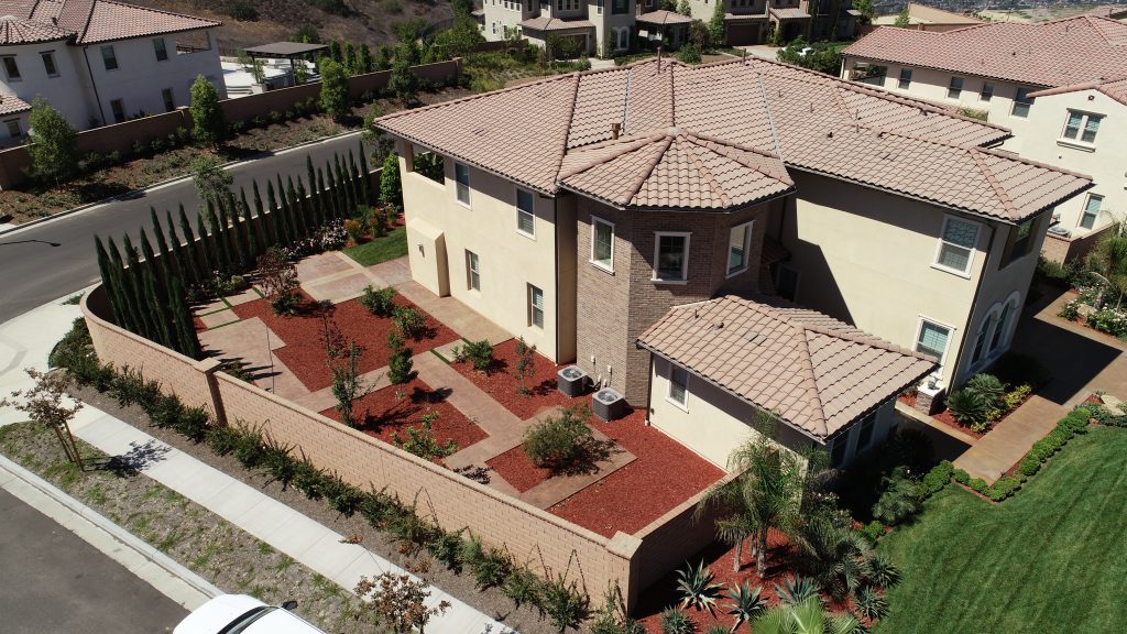
Once only obtainable by manned aircraft, aerial photography and videography have advanced significantly. Using our state-of-the-art UAV equipment, software, and advanced experience in construction, Pacific States Aerial delivers professional quality aerial snapshots. Aerial photography provides critical information for precision planning and mapping for real estate development, environmental and surrounding area review and analysis for land planning architecture design, or for a unique viewpoint of your project. Utilizing high‐resolution still photography and 4K video capabilities, our drone pilots can capture images and video of your subject from any angle. 4K video provides stunning resolution to show off your home, building, project, or event to be used on a website, marketing material, or portfolio presentation. Photo and video editing is also available.


